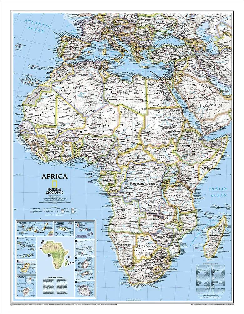
Bring your wall alive with the world's gold standard of wall maps! Take a trip to the great continent of Africa with this absolutely incredible Classic Edition Map, from the greatest cartographers on the globe, National Geographic. From the map collection you've seen in classrooms, libraries, offices, coffee shops, and other public places all your life - now own one for yourself.
National Geographic's political map of Africa is one of the most authoritative maps of region. This Classic style wall map features a bright color palette with blue oceans and the continent's terrain detailed in stunning shaded relief that has been a hallmark of National Geographic maps for over 75 years. Thousands of place names, accurate political boundaries, bodies of water, and major infrastructure networks such as roadways, airports, canals, oil pipelines, and railroads are detailed. Coverage includes the following countries, their capitals, and major cities: Algeria, Angola, Benin, Botswana, Burkina Faso, Burundi, Cameroon, Cape Verde, Central African Republic, Chad, Democratic Republic of the Congo, Republic of Congo, Cote d'Ivoire, Djibouti, Egypt, Equatorial Guinea, Eritrea, Ethiopia, Gabon, Gambia, Ghana, Guinea, Guinea-Bissau, Kenya, Liberia, Libya, Madagascar, Malawi, Mali, Mauritania, Morocco, Mozambique, Namibia, Niger, Nigeria, Rwanda, Senegal, Sierra Leone, Somalia, South Africa, Sudan, South Sudan, Tanzania, Togo, Tunisia, Uganda, Zambia, and Zimbabwe. The island nations shown are: Canary Islands, Madeira Islands, Comoros, Seychelles, Mauritius, Rodrigues, Reunion, Sao Tome and Principe, Bioko, and Cape Verde
This 24" x 31" edition is the perfect size - not too big, not too small - ideal for any wall of your choosing. Every lover of Africa can use this piece as an accent to home, office, classroom, library, or other public facility. Make this yours!


